Fill in the blanks:
(a) The difference in elevation between successive contours is called ............... .
(b) Contours are imaginary lines joining places of ............... above sea level.
(c) In nucleated settlement permanent huts are shown in a ............... .
(d) In scattered settlement the permanent huts are shown in ............... manner.
(e) When contours are drawn close together they show ............... slope.
(f) When contours are drawn far apart, they show ............... slope.
Answer
(a) contour interval
(b) same height
(c) cluster
(d) dispersed
(e) steep
(f) gentle
A plateau shown in contours has a
- steep top
- flat top
- conical top
- rectangular top
Answer
flat top
A cliff is of
- steep rock
- gentle rock
- conical slope
- undulating rock
Answer
steep rock
A saddle is a
- shallow depression
- depression
- a pass between two hills
- a narrow passage
Answer
shallow depression
A col is formed
- between the ridge of a watershed
- between two plateaus
- between two v-shaped valleys
- between two hills
Answer
between the ridge of a watershed
Linear settlements are found on
- either side of a river
- in the plains
- in the mountain area
- in the valley area
Answer
either side of a river
What is the contour interval in the topographical map no G43S/7 or G43S/10?
- 30 m
- 40 m
- 20 m
- 50 m
Answer
20 m
Which of the following type of settlement pattern is seen in the image?
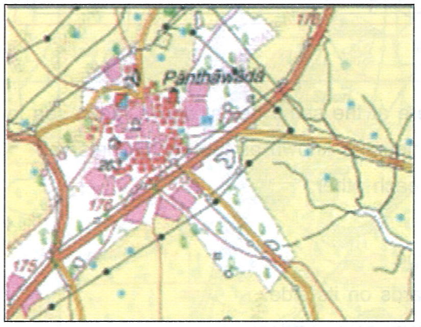
- Compact settlement
- Linear settlement
- Scattered settlement
- Radial settlement
Answer
Compact settlement
Which of the following type of settlement pattern is seen in the image?
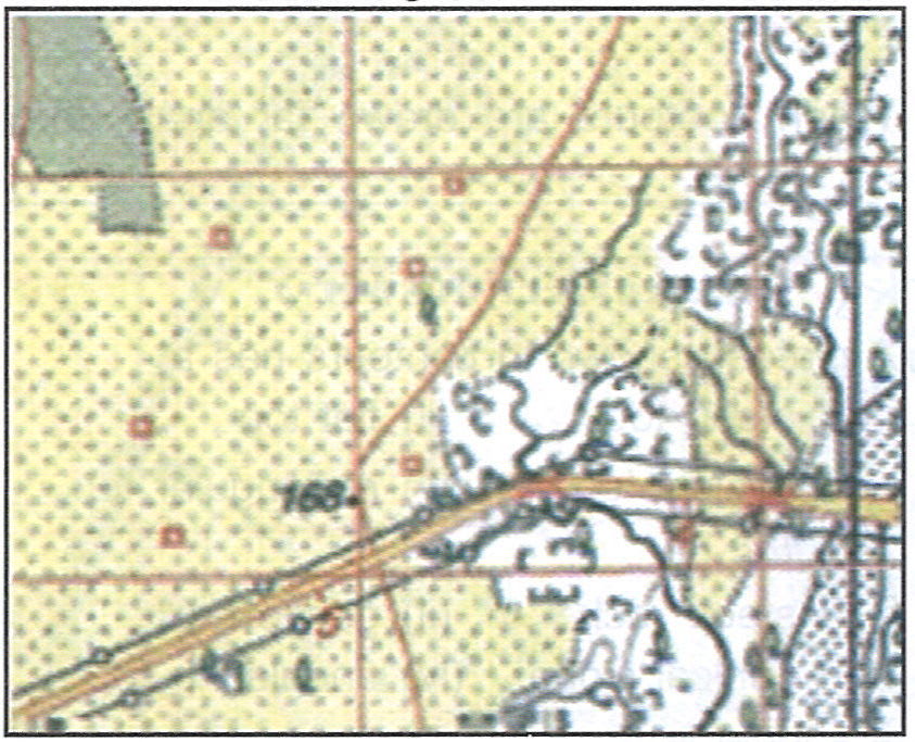
- Compact settlement
- Linear settlement
- Scattered settlement
- Radial settlement
Answer
Scattered settlement
Which of the following type of settlement pattern is seen in the image?
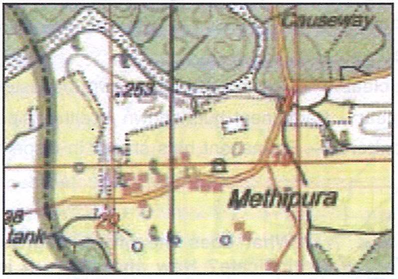
- Compact settlement
- Linear settlement
- Scattered settlement
- Radial settlement
Answer
Linear settlement
What is the RF in the topographical map sheet no G43S/7?
- 1:20,000
- 1:50,000
- 1:30,000
- 1:10000
Answer
1:50,000
What is the meaning of the blue circle with blue cross?
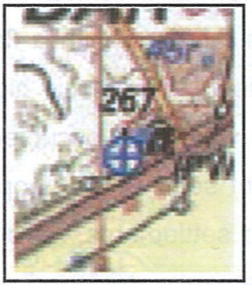
- Hospital
- Dispensary
- Veterinary hospital
- Ayurvedic hospital
Answer
Veterinary hospital
What does this red coloured squares depict?
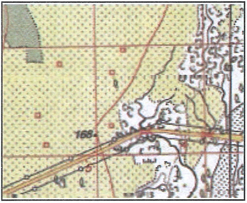
- Isolated huts
- Permanent huts
- Temporary huts
- Buildings
Answer
Temporary huts
Which of the following statement regarding contour is correct?
- Contours are the imaginary black curved line showing the elevation of any place.
- Contours are the imaginary lines joining the places having same elevation from mean sea level.
- Contours are not showing the actual height of the places.
- Contour lines are showing the distance between two places.
Answer
Contours are the imaginary lines joining the places having same elevation from mean sea level.
Which of the following method is used to show the direction of slopes?
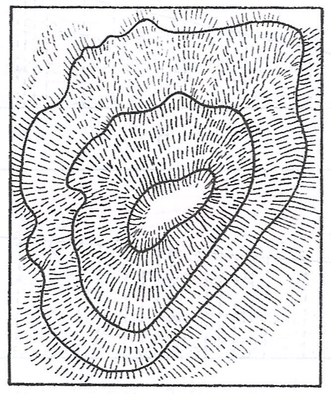
- Hill shading
- Hachuring
- Form lines
- Spot height
Answer
Hachuring
What is depicted by this symbol?
- 347
- Bench mark
- Spot height
- Triangulated height
- Form lines
Answer
Spot height
Which is the largest settlement? Name and identify it.
Answer
Wahan is the largest settlement.
How are linear and scattered settlements shown? Explain by means of a drawing in your notebook.
Answer
Linear Settlement

Scattered Settlement

What type of settlements are Wahan and Gulabaganj? Give a reason for your answer.
Answer
Wahan and Gulabganj are nucleated settlements, because the permanent huts are clustered or grouped together.
How are scattered settlements shown in the map? Name them.
Answer
Scattered settlements are shown as isolated or scattered huts in the map as shown below:

Boki Derli and SigarliKhera are scattered settlements.
Identify a gentle slope and steep slope by means of drawing contours in your notebook in brown colour.
Answer
Below contour diagram represents gentle slope and steep slope:

Why is Gulabganj an important town? State its favourable features (Any two).
Answer
Gulabganj is an important town because of the following reasons:
Located on a Major Road (NH 168) — Being situated next to NH 168, Gulabganj has good connectivity, and transport and trade facilities.
Proximity to a Water body (Sipu Nadi) — The Sipu Nadi flows nearby. Access to water supports agriculture, daily use, and sometimes small-scale industries.
In what colour are contours shown on the map and what is the contour interval?
Answer
Contours are shown with brown colour on the map.
The difference between the value of any two successive contours is known as the contour interval.
What do the black lines all over the map indicate?
Answer
The black wavy lines all over the map indicate the Seasonal streams.
What is the meaning of green line with black dots bordering the green wash?
Answer
The green line with black dots bordering the green wash indicates the boundary of reserved forests.
What does the yellow colour of the map indicate?
Answer
The yellow colour of the map indicates cultivated or agricultural land.
Identify the following relief features (landform) shown by contours on the given topographical sheet G43S10 on page 22.
(i) Conical hill, gentle slope, steep slope, a saddle, col and pass.
(ii) Find out the contour interval in the given toposheet.
(iii) Identify (a) Nuclear settlement, (b) linear settlement and (c) scattered settlement.
Answer
(i) The grid references for the following landforms are:
Conical hill — 6930
Gentle slope — 7128
Steep slope — 7029
A saddle — 6935
Col — 7131
Pass — 7029
(ii) The contour interval in the given toposheet is 20 metres.
(iii) The different types of settlements are identified below:
(a) Nuclear settlement — Sanwara, Wahan, Gulabganj, Pithapura, Udwariya and Asawa are nuclear settlements.
(b) Linear settlement — Tokra and Sirori are a linear settlements.
(c) Scattered settlement — Sigarlikhera, Boki Derli and Burar Khera are scattered settlements.
Identify and name the relief features represented in the given diagrams, A, B, C, D, E and F.
(A)
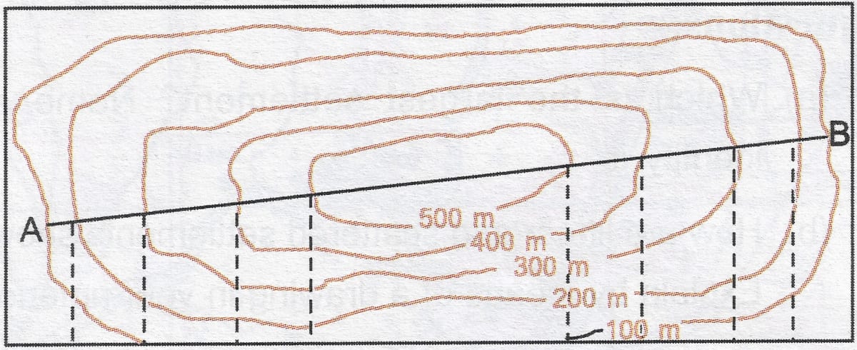
Answer
A plateau
(B)

Answer
A waterfall
(C)

Answer
A ridge
(D)

Answer
A gentle and steep slope
(E)

Answer
A conical hill
(F)

Answer
A hill