Geography
Answer
The straight-line distance on a map can be easily measured using a strip of paper with straight edge in the following way.
- First mark the points, say A and B, between which the distance is to be measured
- Place the edge of the strip of paper along the line AB.
- Mark the limits of distances on the paper.
- Now place the paper along the linear scale and read the map distance.
- The distance between points A and B can also be measured using a divider.
Related Questions
Write the names of three features that brown and green each show on a topographical map.
How are the scales stated in the statement, representative fraction and graphic scale methods?
Draw conventional signs and symbols for footpath with bridge, town, height, palmyra palm and tidal river.
This is the picture of an instrument.
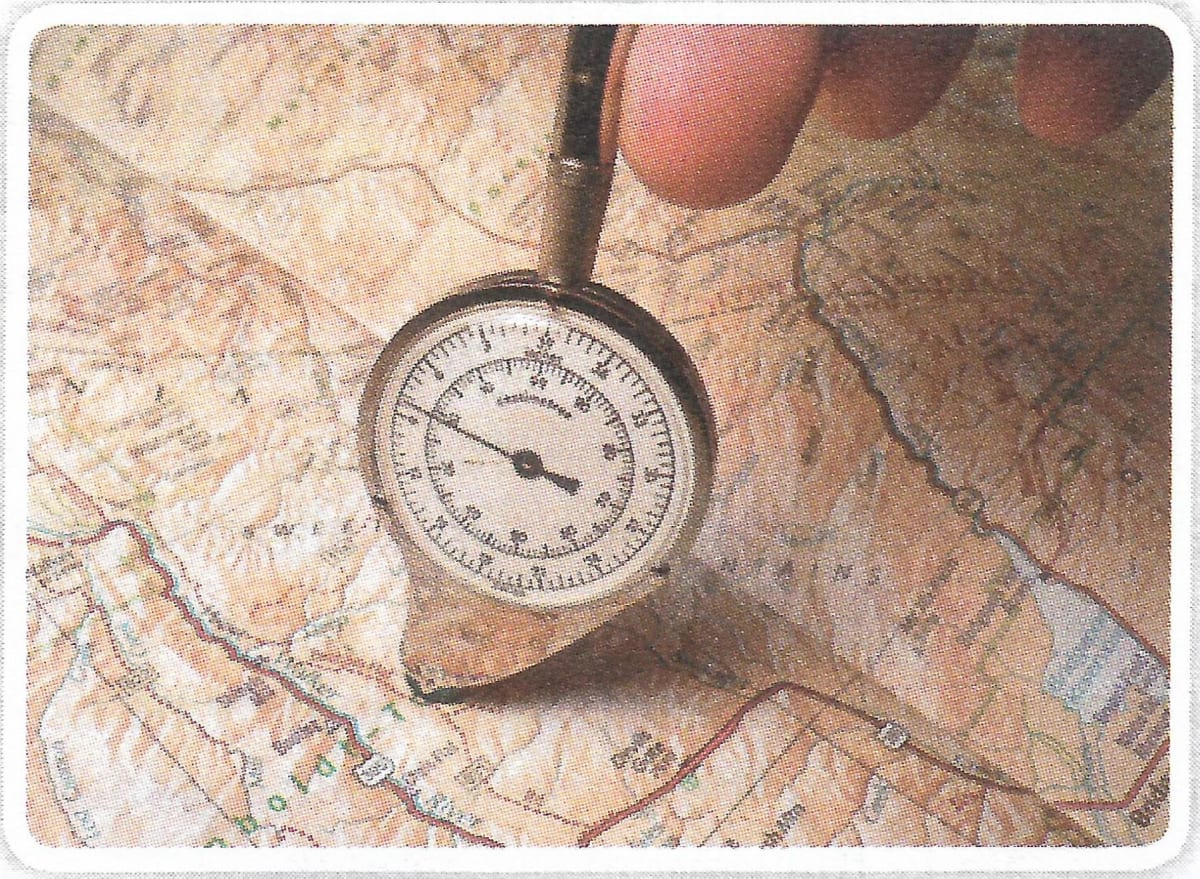
- Name this instrument.
- What is it used for?